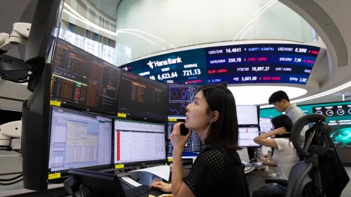

The U.S. National Oceanic and Atmospheric Administration issued a stark warning in June: a 63% probability exists for a very strong El Niño event to develop before 2026. This projection carries significant weight, evoking memories of past severe episodes, such as the 1997-98 El Niño, which was among the strongest on record. That particular event led to an estimated 22,000 deaths and over $36 billion in economic losses globally, triggering widespread floods and droughts across continents. The ripple effects of such weather disruptions extend far beyond immediate environmental damage, impacting aviation, manufacturing, insurance, and public health through regional supply chains.
Southeast Asia, despite possessing a wealth of climate information, faces a critical challenge: translating data into timely, decisive action. The region benefits from satellites, sophisticated climate models, and continuous monitoring by institutions like Singapore’s ASEAN Specialized Meteorological Centre (ASMC), which tracks haze and environmental conditions. International agencies can even predict El Niño’s onset months in advance. Yet, a persistent gap remains between knowing and acting. Governments and businesses often struggle to pinpoint which communities will be hit hardest, which peatlands are most vulnerable, or which supply chains face the greatest disruption. The question then becomes how to intervene before environmental stress escalates into an economic crisis.
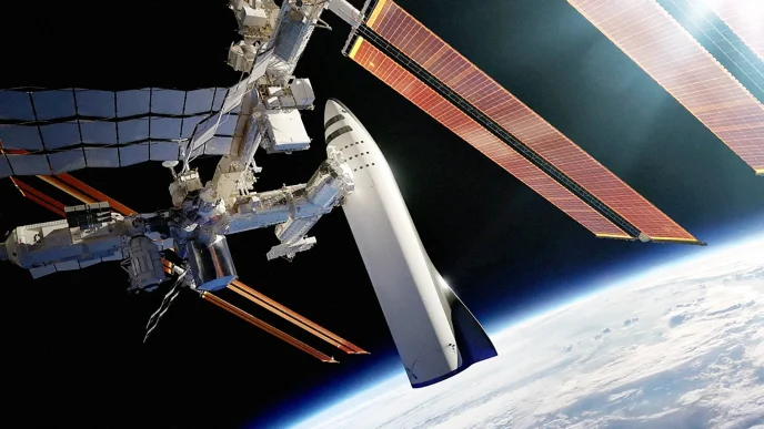
This is where SpaceAI, the convergence of artificial intelligence and space technologies, presents a potential solution. SpaceAI aims to bridge the divide between raw data and actionable intelligence by combining satellite-based Earth observation, large language models, cloud computing, and advanced analytics. Traditionally, Earth observation has been retrospective; satellites capture images, analysts interpret them, and governments react after damage has occurred. AI, however, offers the capacity for proactive measures. By integrating satellite imagery with weather forecasts, soil moisture data, vegetation health, and other environmental indicators, AI models can identify high-risk areas before disaster strikes.
Concrete examples already demonstrate this capability. Researchers have successfully mapped fire susceptibility in Indonesian peatlands by combining peat depth, elevation, slope, vegetation type, rainfall, and proximity to infrastructure with satellite data and machine learning. A more recent study in Riau Province, Sumatra, utilized spaceborne data and machine learning to highlight groundwater level as a primary driver of fire risk. Such insights empower governments to make informed decisions, like prioritizing patrols and fire bans in vulnerable zones or blocking drainage canals to rewet peatlands and raise groundwater levels before fires ignite.
The technological advancements extend to the satellites themselves. Instead of merely transmitting vast volumes of data to Earth, which can overwhelm bandwidth and delay analysis, AI can process observations directly onboard the satellite. This on-board processing selects only the most relevant data, ensuring decision-makers receive critical information much faster than traditional methods allow. Even a slight improvement in lead time can yield significant economic returns, enabling governments to restore water levels in vulnerable peatlands before widespread fires, position firefighting assets proactively, and allow farmers and logistics companies to adjust operations ahead of disruptions. Insurers, too, can benefit from more accurate modeling of weather-related risks.
However, the effectiveness of actionable intelligence hinges on the willingness and capacity of governments to act upon it. Responding to a risk assessment before it fully materializes requires political will, a factor that even the most sophisticated data or analysis cannot wholly solve. Nevertheless, SpaceAI’s value lies in its ability to reduce uncertainty, thereby diminishing the excuses policymakers might have for deferring critical decisions. It narrows the gap between knowing what needs to be done and actually doing it.
To fully leverage this potential, Southeast Asia needs an integrated ecosystem that seamlessly connects Earth observation, AI, scientific expertise, and trusted public institutions. Satellites generate the data, AI transforms it into predictive intelligence, and governments, emergency responders, and businesses convert these insights into coordinated actions. Singapore offers a glimpse of such an ecosystem in practice. Since April 2026, the National Space Agency of Singapore (NSAS) has consolidated the nation’s space functions, with a mandate encompassing regulation, industry development, and talent pipeline building. The government has committed over 200 million Singapore dollars to space research and development since 2022, with initiatives like the upcoming NeuSAR-2 synthetic aperture radar constellation poised to enhance all-weather Earth observation across the region. The broader lesson for Southeast Asia lies not just in specific satellites but in establishing dedicated agencies, sustained funding, and a workforce trained to translate data into decisions.
Ultimately, climate resilience is becoming a key determinant of economic competitiveness. Nations capable of anticipating disruptions before they escalate into supply chain failures, public health crises, or financial losses will gain a strategic advantage over those that continue to rely on reactive disaster management. While SpaceAI cannot entirely replace human judgment or substitute for political will, it can significantly reduce the uncertainty that often hinders proactive measures, empowering decision-makers in Southeast Asia to address the looming threat of El Niño with greater foresight and efficacy.